
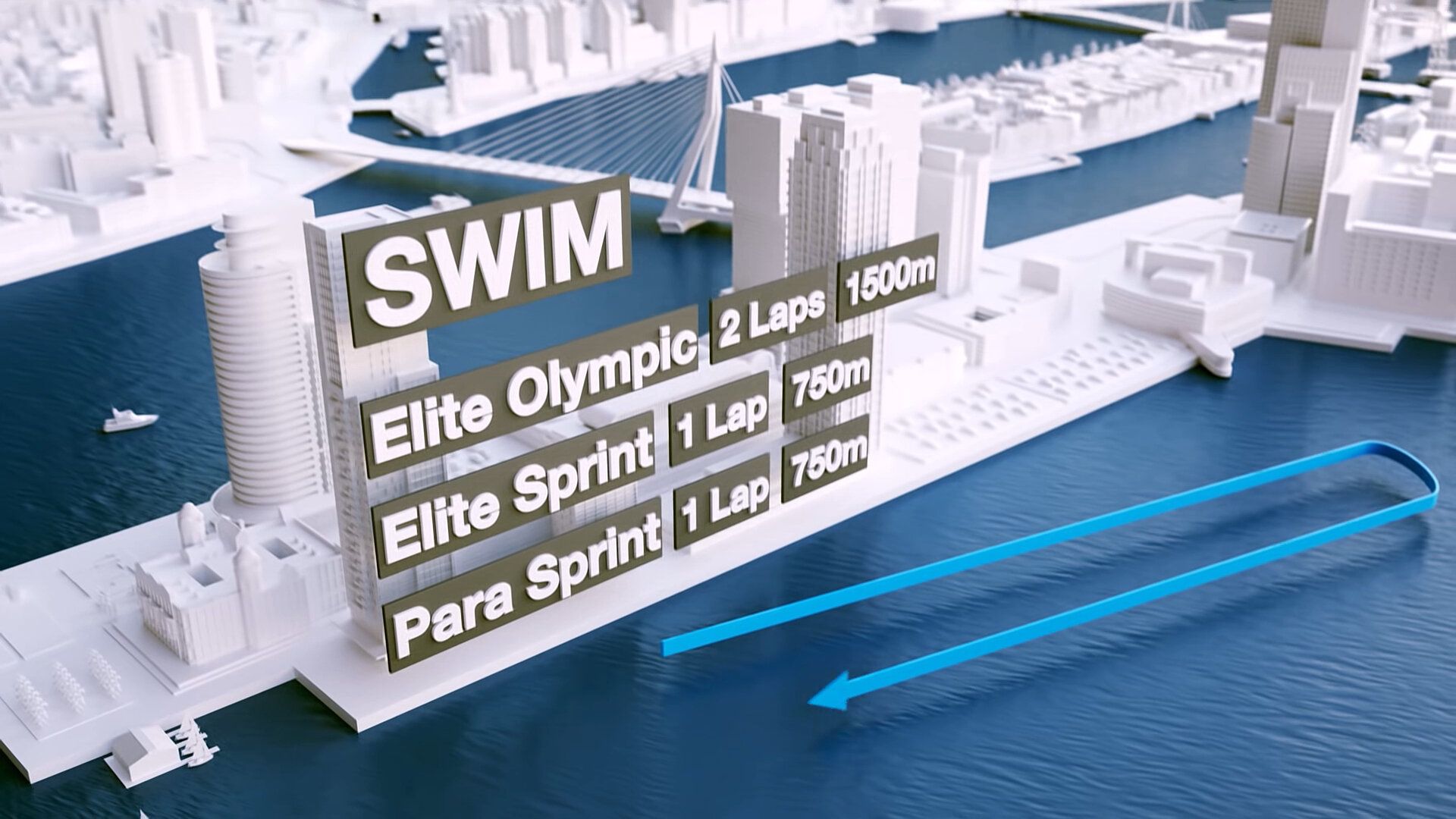
The ask from the client was simple: Can you build an accurate representation of the City of Rotterdam, and show the routes for the Rotterdam Triathlon?
To create the environment, I exported parts of Google Maps 3D data of Rotterdam, and I used that as the framework on which I built the 3D city.
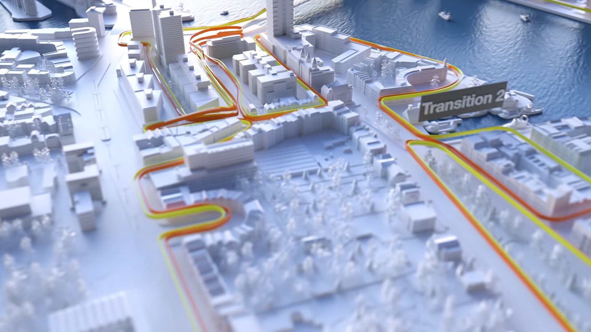
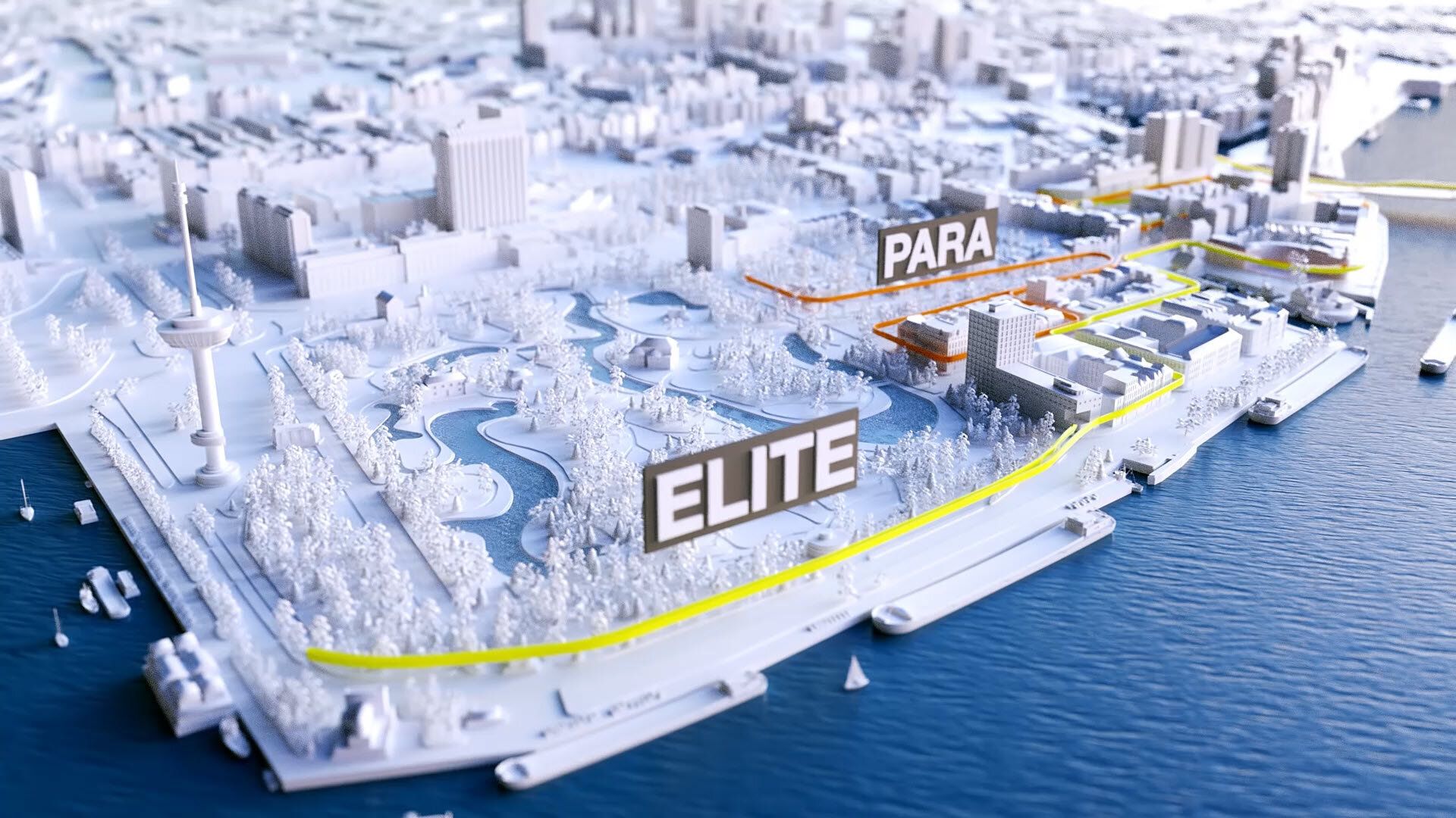
Then having Google Maps open my second screen, I ping-ponged back and forth to get all the details right.
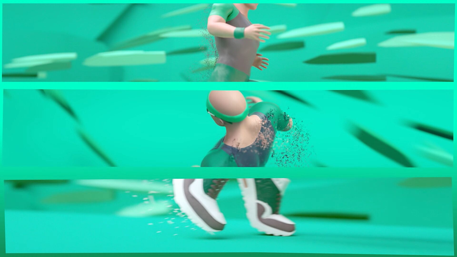
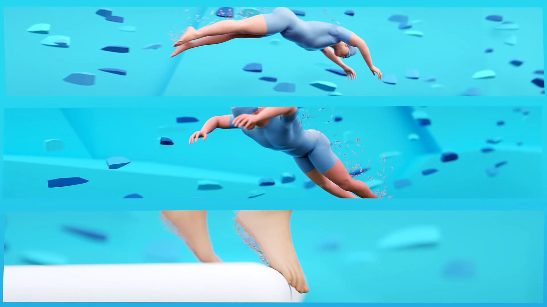
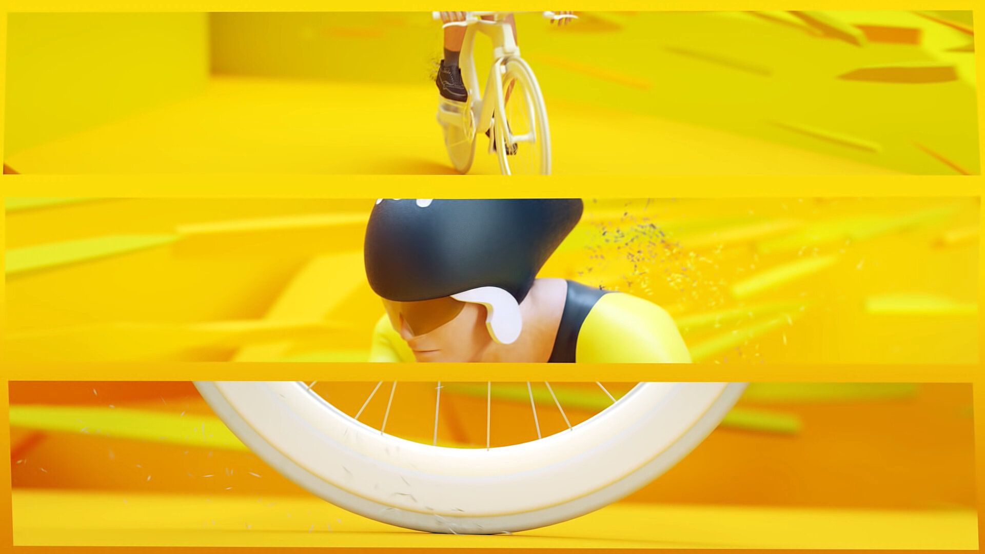
After having built a slice of the city, I needed to stitch the storyline together, so to introduce separated course elements, I chose to add these stylized character animations.
The animation was a success, and a year later, I was asked to update the course and data for another year of promotional content.


